傳統解決方案
部署靈活性差
能源、農業、固廢處理、科學研究等領域涉及各種甲烷排放源,需要一種新的裝置來降低成本、提高效率。
低濃度檢測的挑戰
固定監測設備在檢測低濃度甲烷洩漏方面有其限制。
工作場景受限,反應時間長
雷射掃描容易受到物體表面或障礙物的影響。
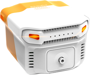
Sniffer4D 1ppm TDLAS甲烷感測與測繪系統
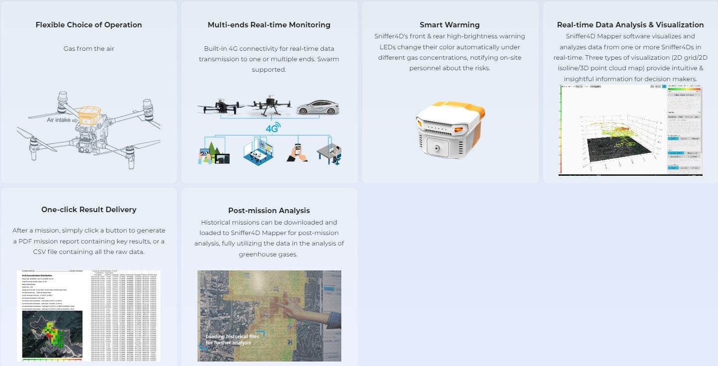
相容於多種無人機,支援最多3個外部模組,以不同的配置實現客製化任務。
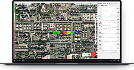
先進的即時數據視覺化和分析軟體——Sniffer4D Mapper
即時直觀且富有洞察力的訊息,助力決策
Sniffer 4D 1ppm TDLAS甲烷感測模組
需要 Sniffer4D Mini2 基本單元或 Sniffer4D 1ppm NDIR CO2 感測和測繪系統。

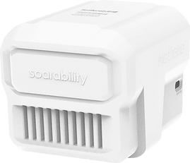
DJI 底座
支援私人部署至第三方平台
* 聯絡 Soarability 啟動存取權限
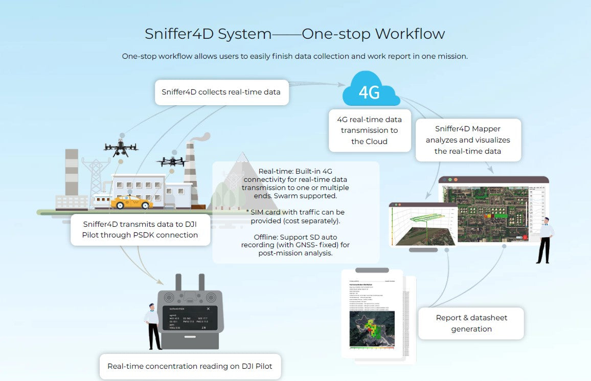
Sniffer4D硬體支援透過MQTT協定即時輸出資料到使用者指定的平台。
Sniffer4D Mapper軟體也支援將解碼後的資料(json格式)透過UDP輸出到指定的IP位址。
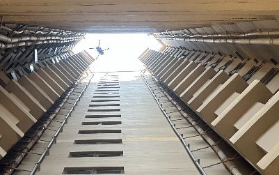
實現自上而下的高效環境監測

用於地面測量的公共交通和服務車輛
由於營運時間長、行駛路線隨機,公車服務車搭載解決方案可以進一步降低資料收集成本,提高對時間和空間分散的無組織排放源的定位效率。
無人機空中測量
透過規劃的飛行路徑和區域覆蓋,無人機偵測可以實現低空、大面積、快速的資料收集。
該系統與視覺化分析軟體相結合,為決策者帶來即時數據的展示和視覺化,以及一鍵式的結果交付。
一站式工作流程
一站式工作流程使用戶能夠在一次任務中輕鬆完成資料收集和工作報告。
典型應用

石油和天然氣管道偵測

煉油廠設施檢測
城市天然氣管道偵測
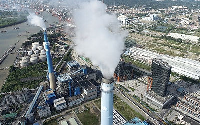
工業園區檢測

垃圾掩埋場檢測