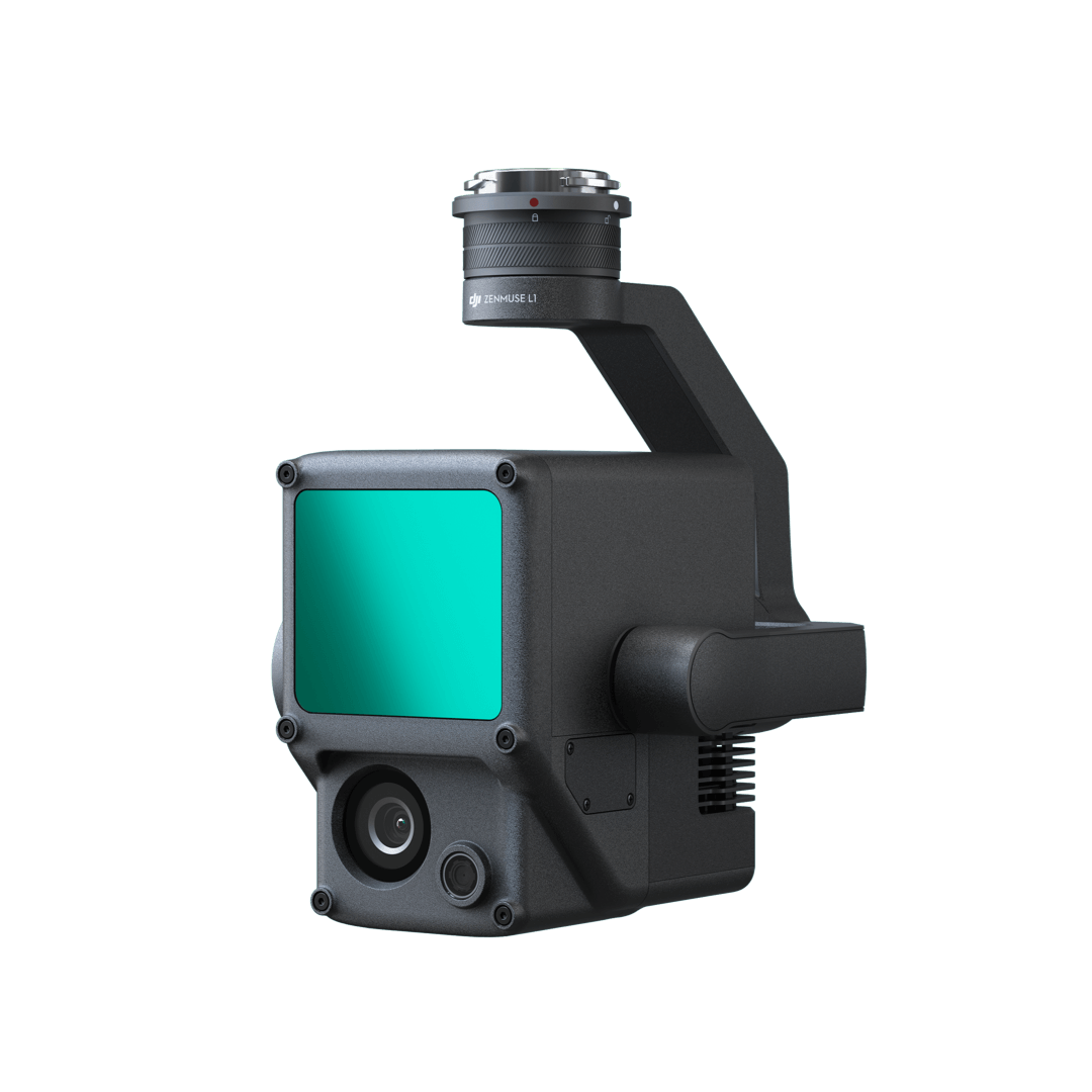
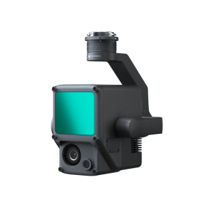
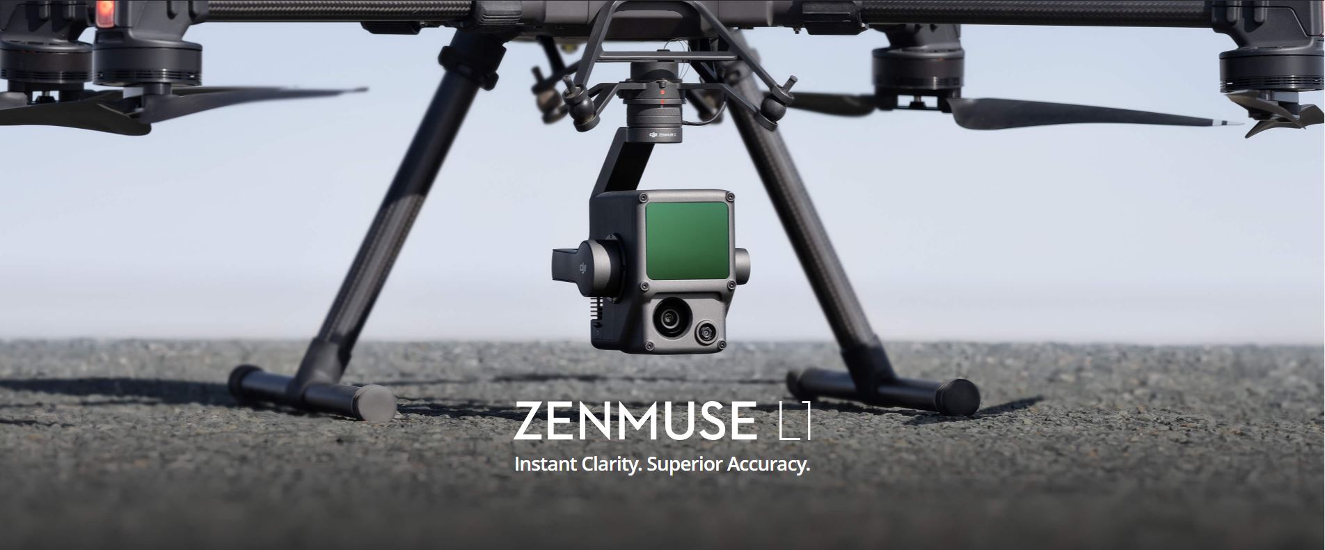
Zenmuse L1
Zenmuse L1
Instant Clarity. Superior Accuracy.
Edited Date: 02/11/2021


General
Dimensions
152×110×169 mm
Weight
930±10 g
Power
Typical: 30 W; Max: 60 W
IP Rating
IP54
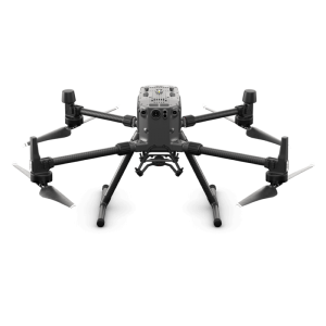
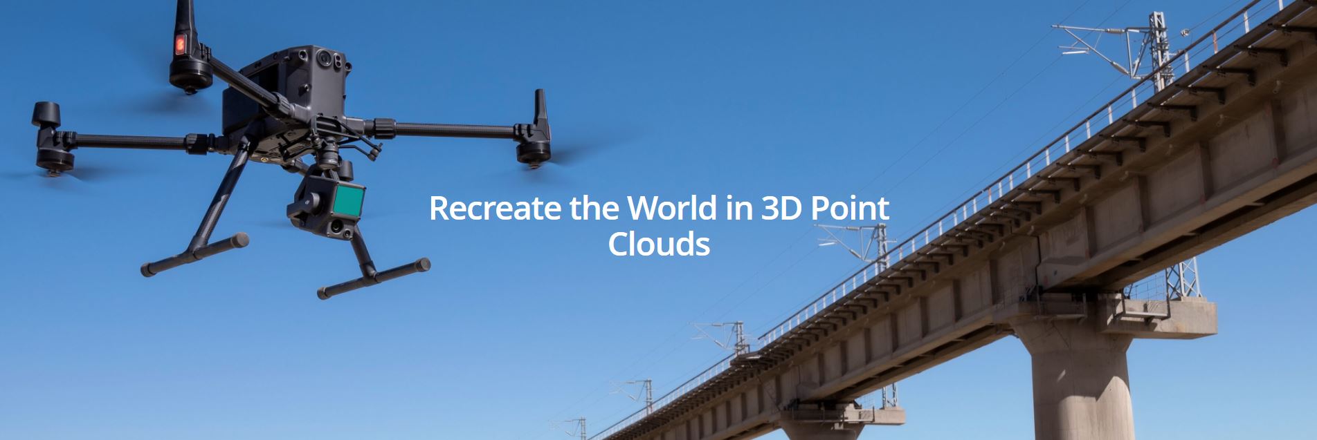
Supported Aircraft
Matrice 300 RTK
Operating Temperature Range
-20° to 50° C (-4° to 122° F)
0° to 50° C (32° to 122° F) (when using RGB mapping camera)
0° to 50° C (32° to 122° F) (when using RGB mapping camera)
Storage Temperature Range
-20° to 60° C (-4° to 140° F)
System Performance
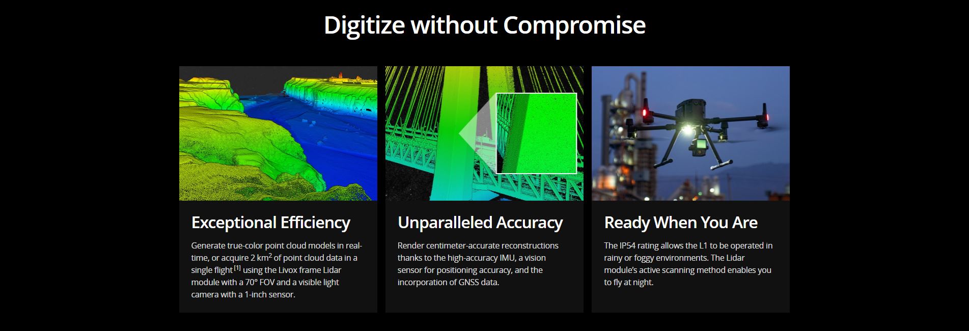
Detection Range
450 m @ 80% reflectivity, 0 klx ;
190 m @ 10% reflectivity, 100 klx
190 m @ 10% reflectivity, 100 klx
Point Rate
Single return: max. 240,000 pts/s ;
Multiple return: max. 480,000 pts/s
Multiple return: max. 480,000 pts/s
System Accuracy(RMS 1σ)1
Horizontal: 10 cm @ 50 m;
Vertical: 5 cm @ 50 m
Vertical: 5 cm @ 50 m
Real-time Point Cloud Coloring Modes
Reflectivity, Height, Distance, RGB
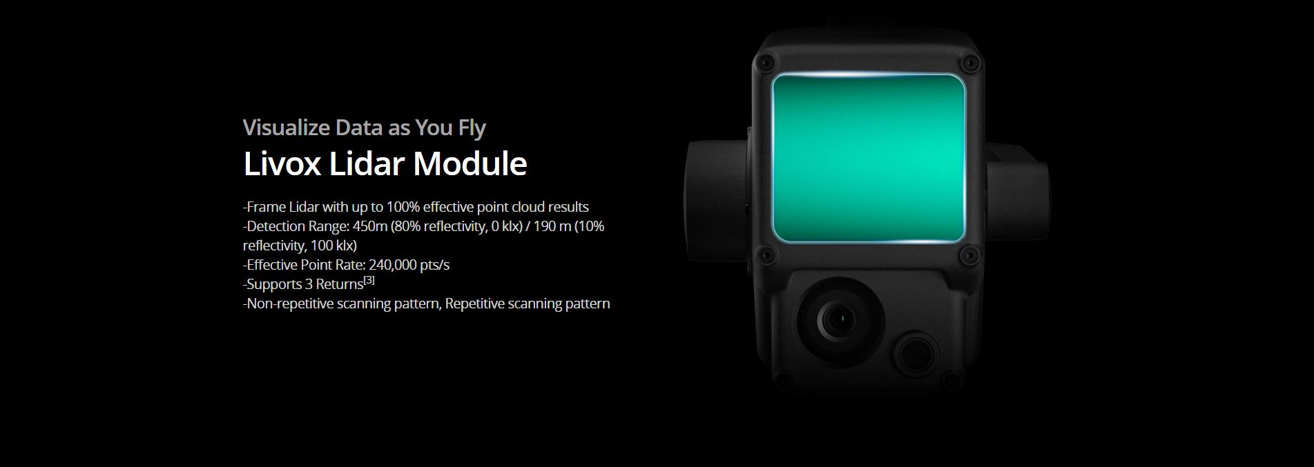
Lidar
Ranging Accuracy (RMS 1σ)2
3 cm @ 100 m
Maximum Returns Supported
3
Scan Modes
Non-repetitive scanning pattern, Repetitive scanning pattern
FOV
Non-repetitive scanning pattern: 70.4° (horizontal) × 77.2° (vertical) ;
Repetitive scanning pattern: 70.4° (horizontal) × 4.5° (vertical)
Repetitive scanning pattern: 70.4° (horizontal) × 4.5° (vertical)
Laser Safety
Class 1 (IEC 60825-1:2014) (Eye Safety)
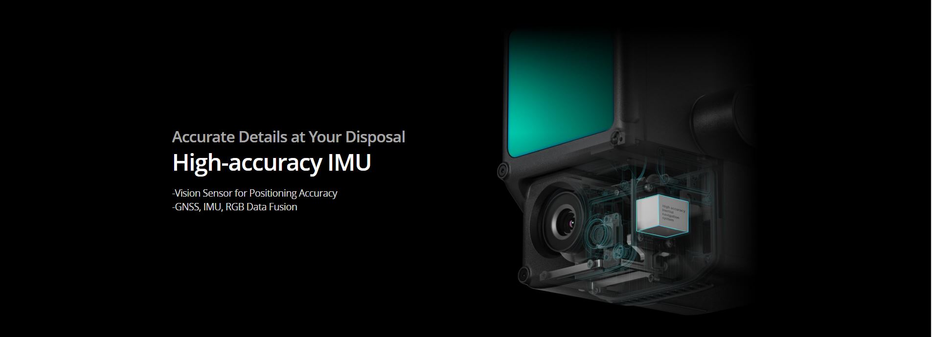
Inertial Navigation System
IMU Update Frequency
200 Hz
Accelerometer Range
±8 g
Angular Velocity Meter Range
±2000 dps
Yaw Accuracy(RMS 1σ)1
Real-time: 0.3°, Post-processing: 0.15°
Pitch / Roll Accuracy(RMS 1σ)1
Real-time: 0.05°, Post-processing: 0.025°
Auxiliary Positioning Vision Sensor
Resolution
1280×960
FOV
95°
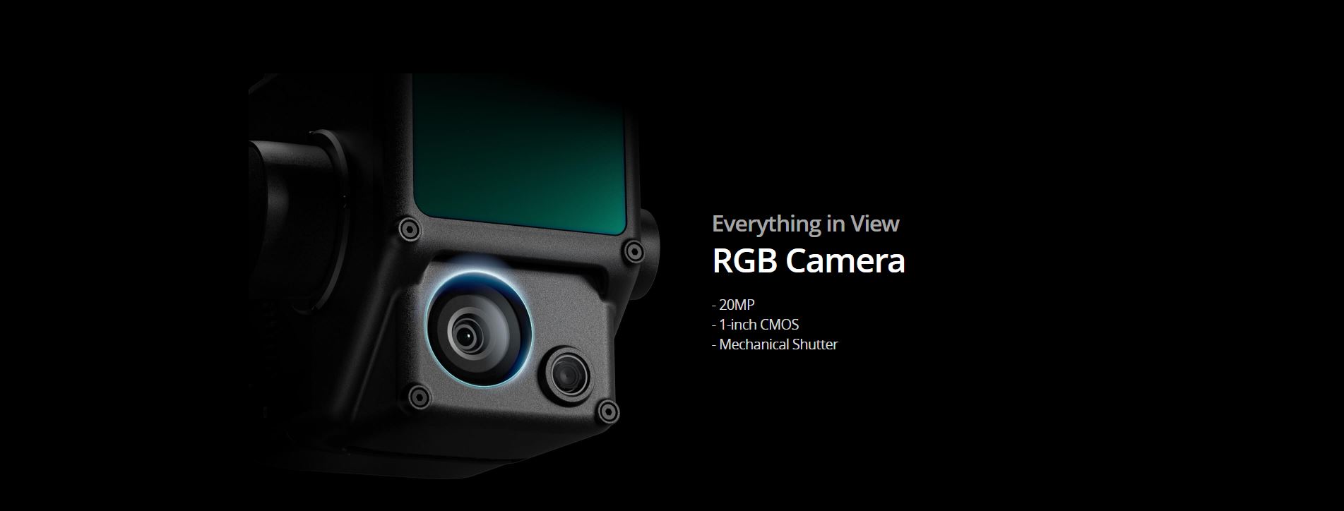
RGB Mapping Camera
Sensor Size
1 inch
Effective Pixels
20 MP
Photo Size
5472×3078 (16:9); 4864×3648 (4:3); 5472×3648 (3:2)
Focal Length
8.8 mm / 24 mm (Equivalent)
Shutter Speed
Mechanical Shutter Speed: 1/2000 – 8 s
Electronic Shutter Speed: 1/8000 – 8 s
Electronic Shutter Speed: 1/8000 – 8 s
ISO
Video: 100 – 3200 (Auto), 100 – 6400 (Manual)
Photo: 100 – 3200 (Auto), 100 – 12800 (Manual)
Photo: 100 – 3200 (Auto), 100 – 12800 (Manual)
Aperture Range
f/2.8 – f/11
Supported File System
FAT (≤32 GB); exFAT (>32 GB)
Photo Format
JPEG
Video Format
MOV, MP4
Video Resolution
H.264, 4K: 3840×2160 30p
Gimbal
Stabilized System
3-axis (tilt, roll, pan)
Angular Vibration Range
0.01°
Mount
Detachable DJI SKYPORT
Mechanical Range
Tilt: -120° to +30°; Pan: ±320°
Operation Modes
Follow/Free/Re-center
Data Storage
Raw Data Storage
Photo/IMU/Point cloud data storage/GNSS/Calibration files
Supported microSD Cards
microSD: Sequential writing speed 50 MB/s or above and UHS-I Speed Grade 3 rating or above; Max capacity: 256 GB
Recommended microSD Cards3
SanDisk Extreme 128GB UHS-I Speed Grade 3
SanDisk Extreme 64GB UHS-I Speed Grade 3
SanDisk Extreme 32GB UHS-I Speed Grade 3
SanDisk Extreme 16GB UHS-I Speed Grade 3
Lexar 1066x 128GB U3
Samsung EVO Plus 128GB
SanDisk Extreme 64GB UHS-I Speed Grade 3
SanDisk Extreme 32GB UHS-I Speed Grade 3
SanDisk Extreme 16GB UHS-I Speed Grade 3
Lexar 1066x 128GB U3
Samsung EVO Plus 128GB
Post-processing Software
Supported Software
DJI Terra
Data Format
DJI Terra supports exporting standard format point cloud models:
Point cloud format: PNTS/LAS/PLY/PCD/S3MB format
Point cloud format: PNTS/LAS/PLY/PCD/S3MB format
Notes
Notes
1. The accuracy was measured under the following conditions in a DJI laboratory environment: after a 5-minute warm up, using Mapping Mission with Calibration Flight enabled in DJI Pilot, and with the RTK in FIX status. The relative altitude was set to 50 m, flight speed to 10 m/s, gimbal pitch to -90°, and each straight segment of the flight route was less than 1000 m. DJI Terra was used for post-processing.
2. Measured in an environment of 25℃ with a target (80% reflectivity) 100 meters away. The result may vary under different test conditions.
3. The recommended microSD cards may be updated in future. Visit the DJI official website for the latest information.
2. Measured in an environment of 25℃ with a target (80% reflectivity) 100 meters away. The result may vary under different test conditions.
3. The recommended microSD cards may be updated in future. Visit the DJI official website for the latest information.
Accessories